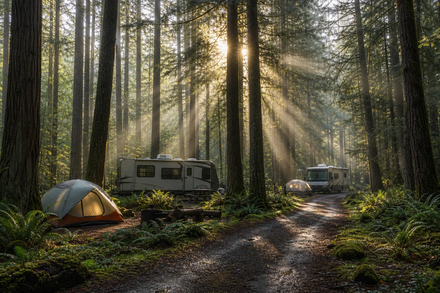
Find Your Perfect Campground
Browse 67,804+ campgrounds and resorts across the country.
1,100 campgrounds found
 Map view
16 Springs Canyon RV Park
Campground near Cloudcroft, NM. Amenities include WiFi.
 Map view
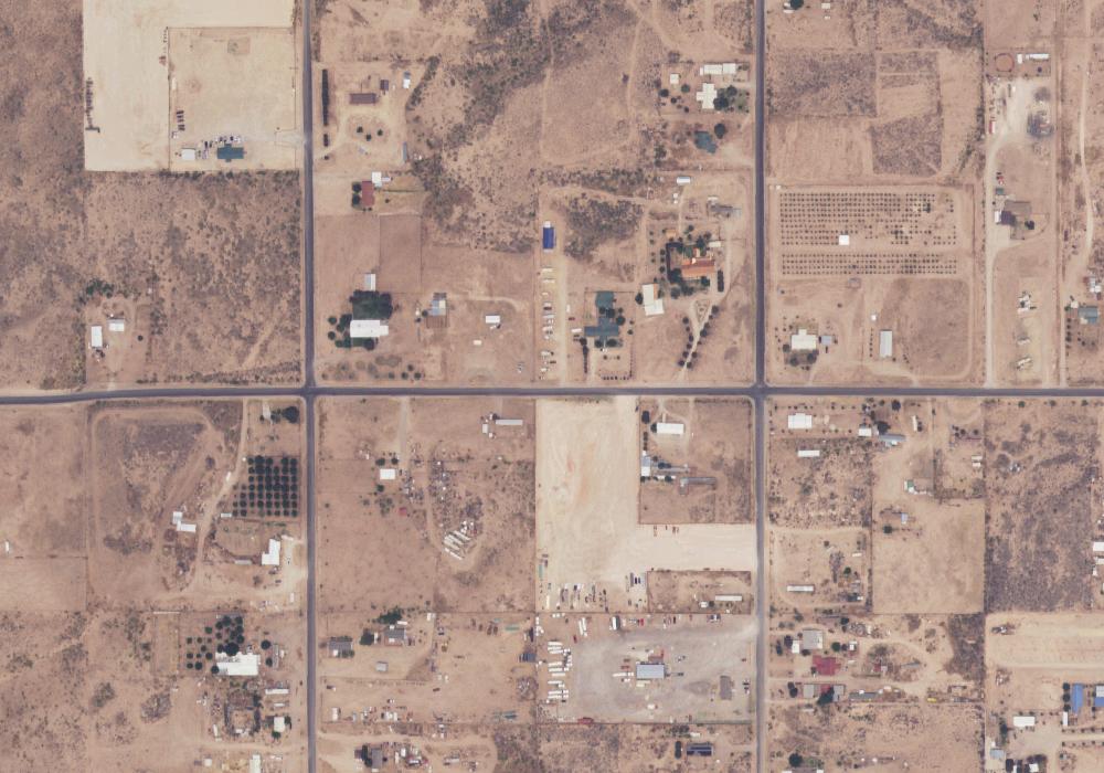
3 C's RV park
Private campground near Carlsbad, NM.
 Map view
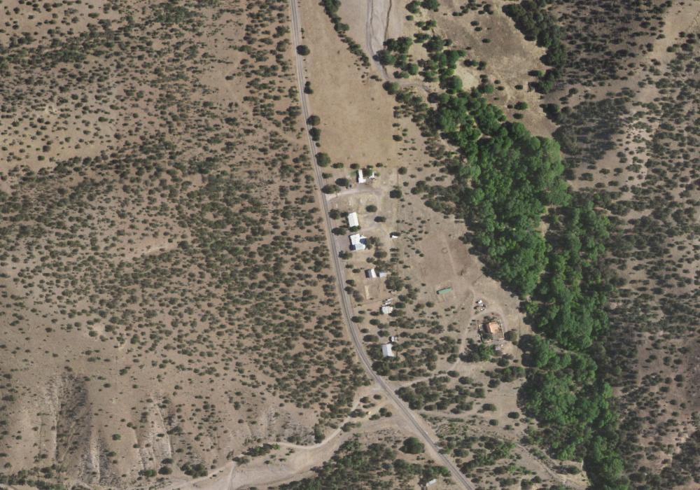
4 Seaysons RV Park, Lodge, and Country Store
Private campground near Hanover, NM.
 Map view
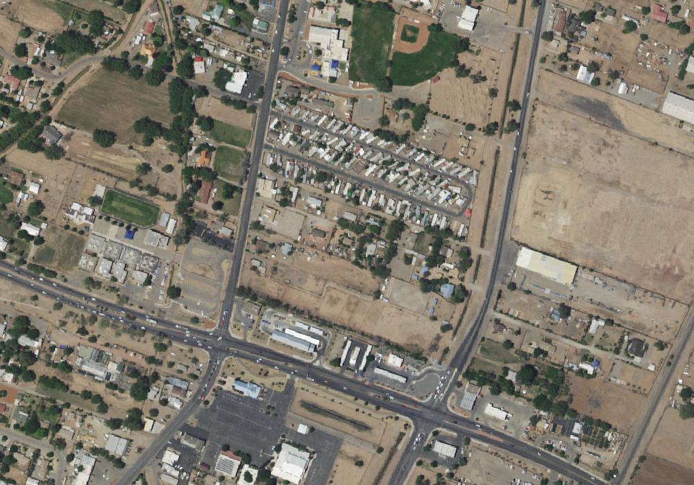
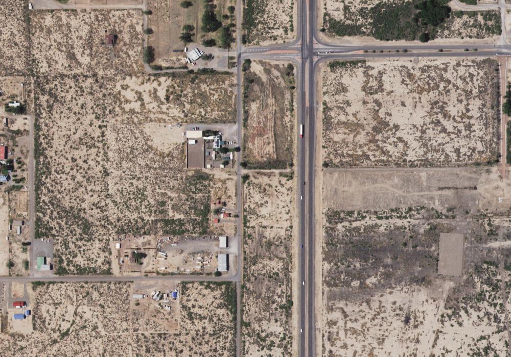
4th Street RV
Campground near Albuquerque, NM.
 Map view
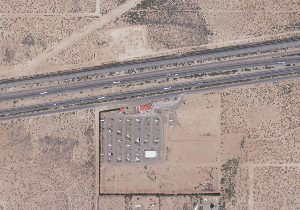
575 RV Park
Private campground near Alamogordo, NM.
 Map view
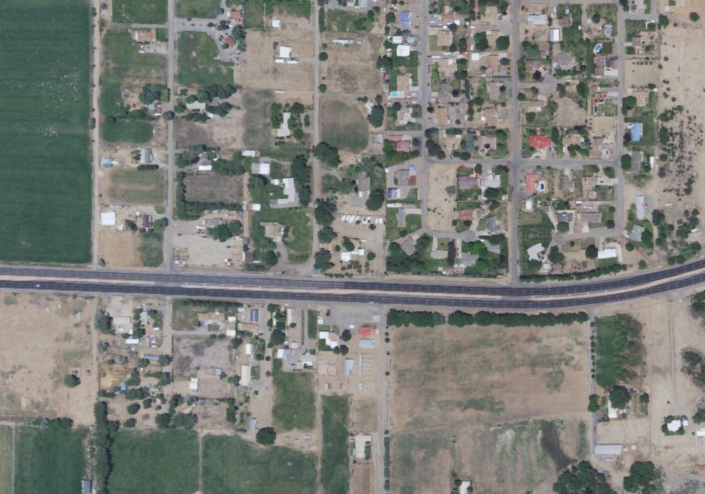
81 Palms RV Park
Private campground near Deming, NM.
 Map view
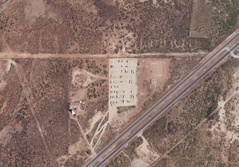
A Hitchin' Post
Private campground near Bloomfield, NM.
 Map view
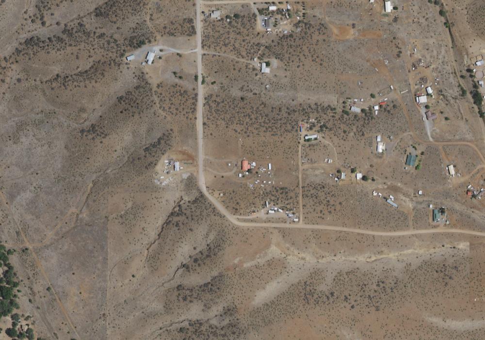
AOK RV Retreat
Private campground near Carlsbad, NM.
 Map view
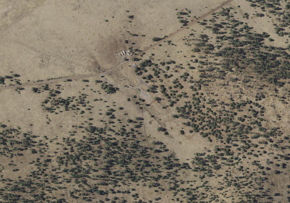
Adventure RV'n Out West
Campground near Silver City, NM.
 Map view
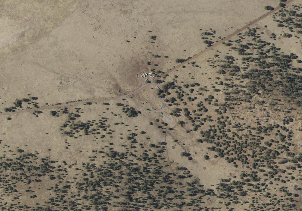
Aeroplane Mesa
Public campground in NM managed by the U.S. Forest Service.
 Map view
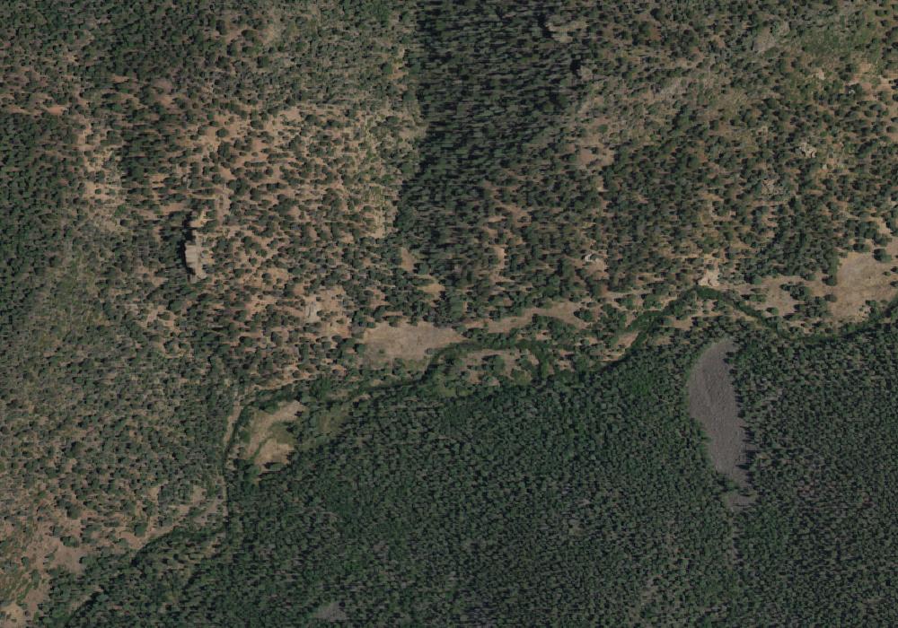
Aeroplane Mesa Campground
Public campground in NM managed by the U.S. Forest Service. The campground has 6 sites. Amenities include BBQ grills, RV/trailer sites, restrooms, and tent sites. Sites are first-come, first-served.
 Map view
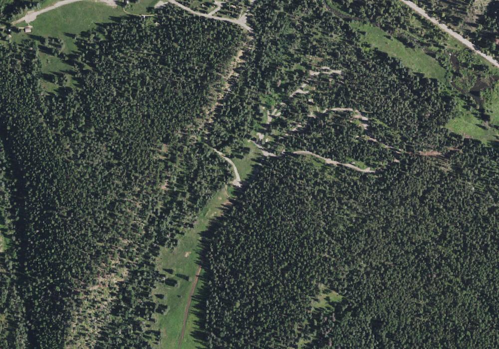
Agua Fria Camp
Public campground in NM managed by the Philmont Scout Ranch.
 Map view
Agua Piedra Campground
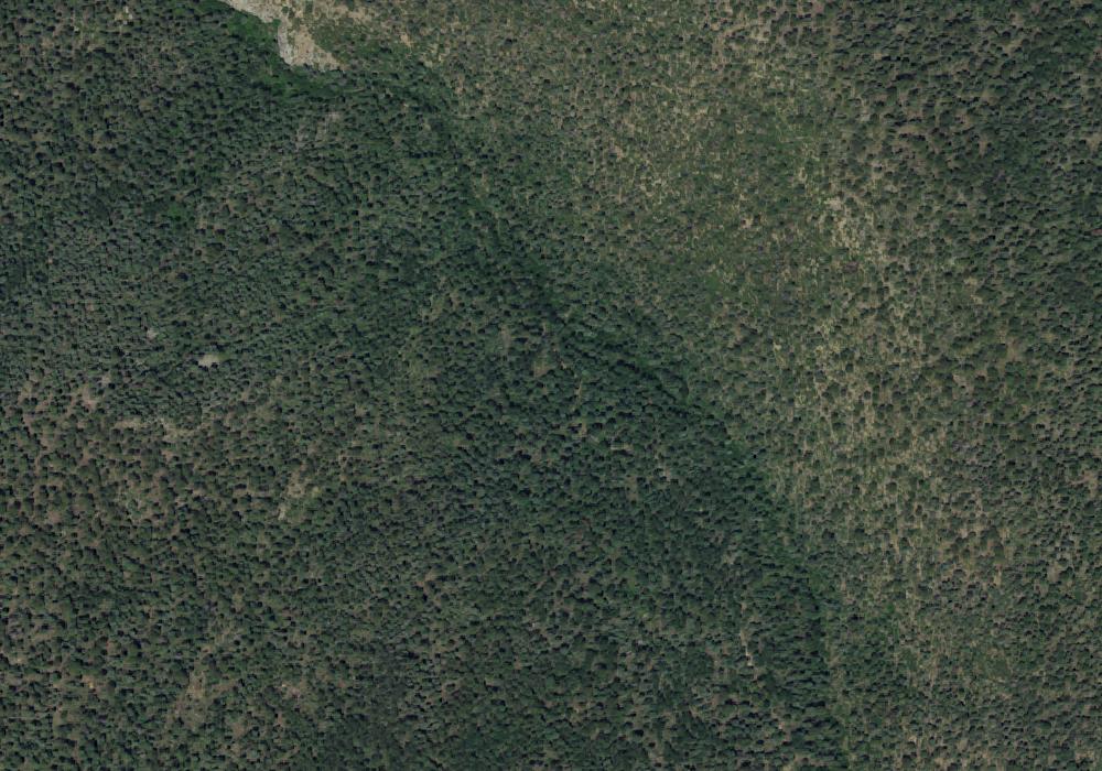
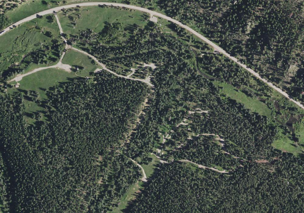
Agua Piedra, located in the Carson National Forest, is nestled near the Rio Pueblo and Agua Piedra Creek. The campground contains many shaded areas to camp, relax, and enjoy the outdoors.Natural Features: Agua Piedra campground and group shelters are located in a mixed forest of spruce, fir and aspen trees, which provide some shade throughout the day. At an altitude of 8,100 feet, temperatures can cool off during the summer nights.Recreation: Two trailheads begin in the area, including a novice trail that is entirely accessible. An intermediate and longer trail is also available for not only hiking, but also horseback riding and biking, and cross country skiing and snowshoeing in the winter.Visitors to the Agua Piedra campground and group shelters can also enjoy fishing in the Rio Pueblo River, which is a tributary of the mighty Rio Grande. The river is stocked with rainbow trout and has an accessible fishing dock.Hiking to Serpent Lake and Cordova Canyon, which are both within seven miles of the campground and group shelters, are also favorite activities for visitors. Also popular is further exploration of points of interest in the Pecos Wilderness, as well as within the Sangre De Cristos Mountains, the southernmost Rocky Mountain range.Facilities: The campground includes 40 single sites each with a table and fire ring, two double sites each with two tables and a fire ring, and two group shelters located west of the campground. Vault toilets, drinking water from faucets, and trash removal are provided. Firewood is available to purchase from the host.The group shelters (A and B), which are accessible, are located west of the campground and are equipped with tables and campfire rings with grills. Accessible vault toilets and drinking water are provided. Trash service is provided in the campground. The accessible group shelter 'A ' can accommodate up to 50 people for overnight camping. Group shelter 'B ' can accommodat

Agua Piedra Campground
Overview Agua Piedra, located in the Carson National Forest, is nestled near the Rio Pueblo and Agua Piedra Creek. The campground contains many shaded areas to camp, relax, and enjoy the outdoors. Recreation Visitors to the Agua Piedra campground and group shelters can also enjoy fishing in the Rio Pueblo River, which is a tributary of the mighty Rio Grande. The river is stocked with rainbow trout and there is a small pier in the day use area. Hiking to Serpent Lake and Cordova Canyon, which are both within seven miles of the campground and group shelters, are also favorite activities for visitors. Also popular is further exploration of points of interest in the Pecos Wilderness, as well as within the Sangre De Cristos Mountains, the southernmost Rocky Mountain range. Facilities The campground includes 40 single sites each with a table and fire ring, two double sites each with two tables and a fire ring, and two group shelters located west of the campground. Vault toilets, drinking water from faucets, and trash removal are provided. Firewood is available to purchase from the host. First-come, first-served sites are available. The group shelters (A and B), which are accessible, are located west of the campground and are equipped with tables and campfire rings with grills. Accessible vault toilets and drinking water are provided. Trash service is provided in the campground. The accessible group shelter "A" can accommodate up to 50 people for overnight camping. Group shelter "B" can accommodate up to 100 people for overnight camping. Both group shelters are available by reservation. Natural Features Agua Piedra campground and group shelters are located in a mixed forest of spruce, fir and aspen trees, which provide some shade throughout the day. At an altitude of 8,100 feet, temperatures can cool off during the summer nights. Contact Info For facility specific information, please call (928) 537-8888. Nearby Attractions Sipapu Ski Resort, the town of Vadito, and the town of Penasco is within 3 - 17 miles from the campground and group shelter. Most services are available in Taos, NM, 25 miles north of the campground or Espanola, NM, 45 miles southwest.
 Map view
Agua Piedra Campground
We're here to help you dream up your next trip, figure out the details, and reserve experiences at over 3,600 facilities and 103,000 individual sites across the country.
 Map view
Agua Piedra Group Area
AGUA PIEDRA GROUP AREA (Group Campground)
 Map view
Aguila Camp
Public campground in NM managed by the Philmont Scout Ranch.

Aguirre Spring Campground
Public campground in NM managed by the Bureau of Land Management.

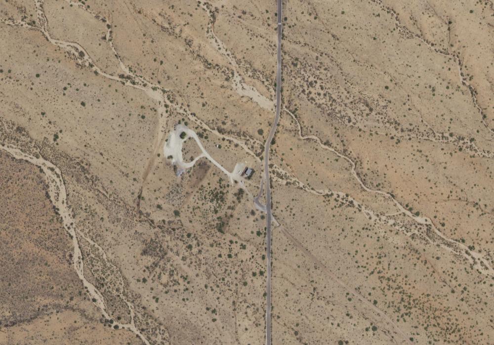
Aguirre Spring Campground
Public campground in NM managed by the Bureau of Land Management.
 Map view
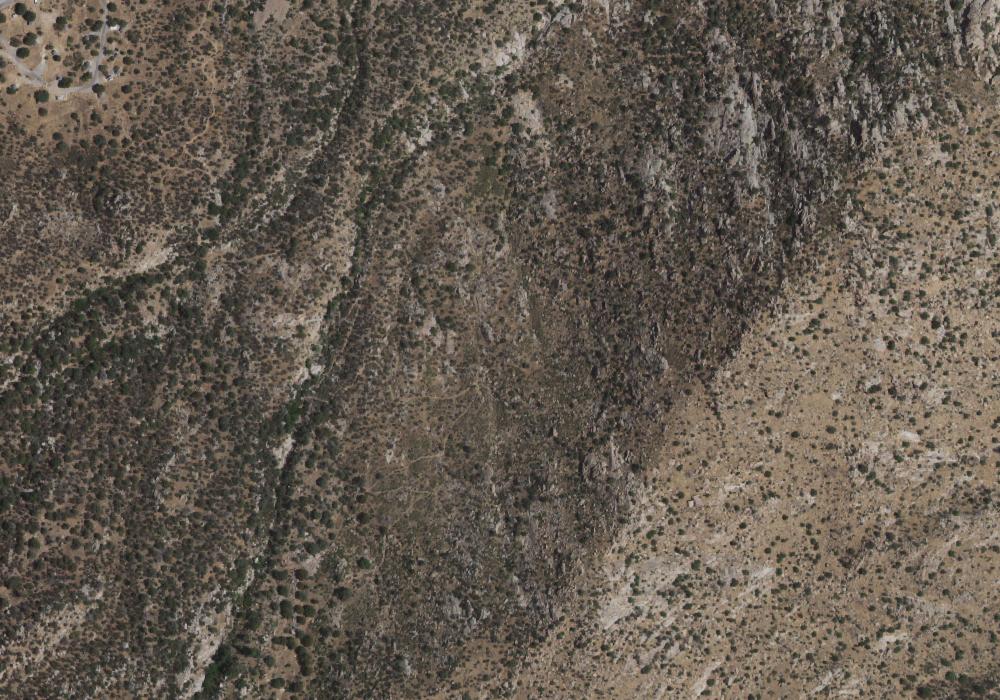
Aguirre Spring Hostsite
Public campground in NM managed by the Bureau of Land Management.
 Map view
Aguirre Spring Recreation Area and Campground
<p>The high wall, needle-like spires of the Organ Mountains curve dramatically around a semicircle of Chihuahuan Desert habitat at the Aguirre Spring Campground. The campground, nestled at the base of spectacular cliffs, overlooks the Tularosa Basin and White Sands National Park. Alligator juniper, gray oak, mountain mahogany and sotol are a few of the abundant plant species here. Seasonal springs and streams occur in the canyon bottoms, with a few perennial springs that support riparian habitats.</p><p>The Aguirre Spring Recreation area includes a scenic drive along Aguirre Spring Road, two National Recreation Trails and a campground. Baylor Pass Trail is a six-mile (one way) trail that traverses the Organ Mountains from east to west. Pine Tree Trail is a 4-mile loop trail.</p>
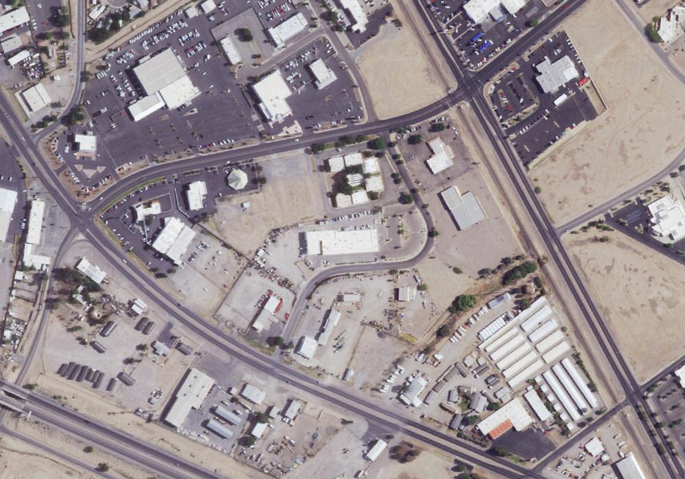
Aguirre Springs Campground
Public campground near Organ, NM managed by the Bureau of Land Management. Amenities include drinking water, restrooms, and tent sites. Nightly fees start at $5.
 Map view
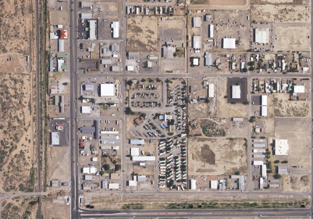
Aguirre Springs National Recreation Area
Private campground near Las Cruces, NM.
 Map view
Alamogordo / White Sands KOA
Campground in NM. Amenities include restrooms, and tent sites.