Find Your Perfect Campground
Browse 67,804+ campgrounds and resorts across the country.
828 campgrounds found
 Map view
2 Rivers Beer Cheese
Campground near Winchester, KY.
 Map view
2B RV Park and Cabin Rental, LLC
Private campground near Shelbiana, KY.
 Map view
4 Guys RV Park at the Gorge
Private campground near Stanton, KY. Amenities include Camp store, Full hookups, cabins, fishing, and wifi.
 Map view
801 Pitstop RV Camping
View 801 Pitstop Rv Camping in Morehead. View Phone, Address, Reviews, Complaints, Compliments and Similar Businesses to 801 Pitstop Rv Camping
 Map view
829 RV Park
RV Park in Albany, Kentucky A peaceful and convenient retreat just 5 miles from Marina Rowena on Lake Cumberland. With spacious, big rig-friendly sites and well-kept amenities, it’s the perfect base for boating, fishing, and relaxing by the water. BOOK YOUR STAY Short term Monthly About Us Map & Amenities Gallery FAQ & Tips About […]
 Map view
A J Jolly Park Campground
Public campground near Alexandria, KY managed by the U.S. Geological Survey.
 Map view
A.J. Jolly Campground
The official website of Campbell County, Kentucky
 Map view
Adam's Acres RV Park
Private campground near Kevil, KY.
 Map view
Addison Acres Campground
Campground near Nancy, KY.
 Map view
Adventure Bound Camping Resorts - Eagle Valley
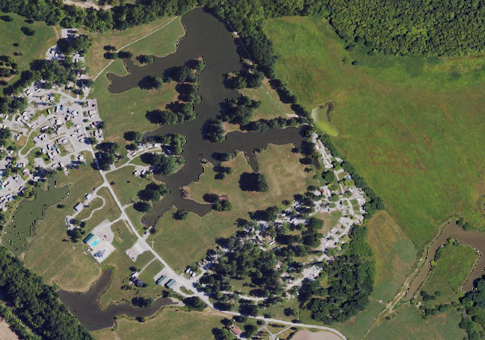
Adventure Bound Camping Resort - Eagle Valley is a family-friendly RV park and campground in Sanders, Kentucky, offering RV sites, tent sites, and deluxe cabin rentals. Guests enjoy a water park-style pool area with water slides, fishing ponds, playgrounds, basketball and volleyball courts, GaGa ball, golf cart rentals, a general store, laundry facilities, and clean bathhouses with showers. With a full calendar of themed events and live entertainment throughout the season, Eagle Valley is a lively, pet-friendly destination for families and campers traveling between Louisville, Cincinnati, and the Ohio River region.

Aldersgate Camp & Retreat Center
Aldersgate Camp is a home away from home for many people. It is a place set apart in God
 Map view
All Saints Camp and Retreat Center
Campground near Leitchfield, KY. Amenities include cabins, and hiking.

Alum Ford
Overview Alum Ford Campground is located in the Kentucky portion of Big South Fork seven miles west of Whitley City, Kentucky at the end of Highway 700. The campground consists of six campsites each with picnic table and fire ring. Recreation The campground is located adjacent to the Alum Ford Boat Launch, providing access for motorized and non-motorized watercraft to this remote section of the Big South Fork River where it becomes Lake Cumberland. The Sheltowee Trace National Recreational Trail also passes through the campground. The Sheltowee Trace is a 260-mile back country trail through Daniel Boone National Forest, Big South Fork NRRA, and Natural Bridge, Cumberland Falls, & Pickett State Parks in Kentucky and Tennessee. Facilities Alum Ford Campground has six sites with tent pads, picnic tables, fire rings with grills, bear-proof garbage cans, and food storage lockers. A vault toilet facility is also available. Natural Features This small campground sits above the Alum Ford Boat Ramp which provides access to the Big South Fork River. Nearby Attractions The Big South Fork Scenic Railway Depot is located about 9 miles away in the town of Stearns, which offers train rides and other educational opportunities for campers. More information can be found online at https://bsfsry.com. Just a few miles from Stearns is Blue Heron Mine, also known as Mine 18, a historic abandoned mining town that has been rebuilt as an outdoor museum. Visitors can hear audio presentations from actual people who lived in the community in the 1950s. Additional attractions include the Daniel Boone National Forest and Cumberland Falls State Resort Park, offering additional recreation opportunities.
 Map view
Ande's Place
Campground near Kuttawa, KY. The campground has 20 sites. Amenities include Full hookups, Picnic tables, Tent sites, fishing, laundry, and wifi. Nightly fees start at $20.
 Map view
Apple Jack Creekside Camping
Campground near Oil Springs, KY.
 Map view
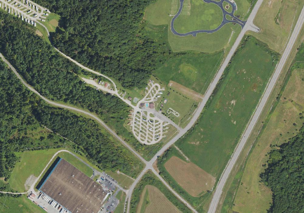
Aquatic Adventures LLC.
Campground near Olive Hill, KY.
 Map view
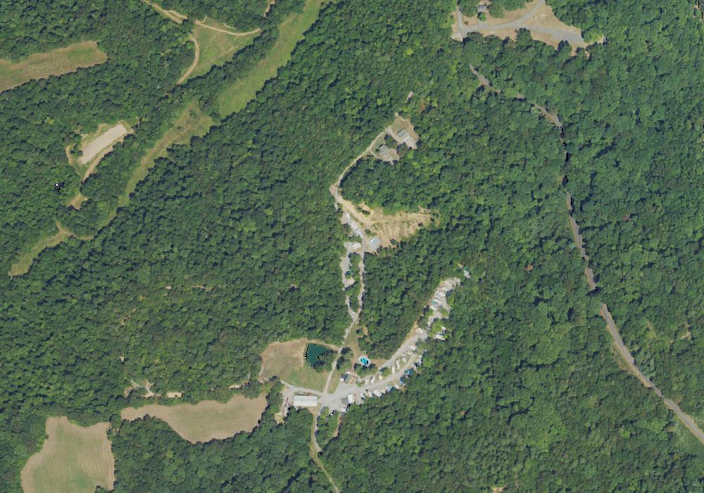
Ashland Huntington West KOA Holiday
Private campground near Argillite, KY.
 Map view
Aurora Oaks Campground
Play at Royal Reels Casino and open access to thousands of gambling games. Sign up for an account and get a Welcome Bonus 100% up to AU$ 500!
 Map view
Backstreet Outdoor Adventures LLC, Campground
Campground near Oneida, KY.
 Map view
Bailey Point Campground
Private campground near Scottsville, KY managed by the U.S. Geological Survey.

Baileys Point
Overview Bailey's Point campground is the largest of the Army Corps of Engineers' campgrounds on Barren River Lake. This campground offers several waterfront campsites with scenic views of the lake. Though the campground is one of the largest, you won't know it. There is room to roam, five camping loops with diverse scenery, and private coves for swimming or mooring your boat. You are sure to find a site that's your escape to nature and relaxation. View a virtual tour of Barren River Lake. Recreation Baileys Point has a boat ramp for access to prime fishing, water skiing and boating. Several islands in proximity to the campground are great for a quick picnic getaway by boat. Birding is also a popular activity with a variety of species including kestrels, indigo buntings, bald eagles and at night you can hear the calls of barred owls. Hikers can explore the C.E. Rager Nature Trail and the Robert Foster Hiking Trail. Robert Foster Hiking Trail gives you the opportunity to see the diversity of trees Kentucky has to offer and the C.E. Rager Nature trail is a nice short stroll along the shoreline of the lake. Great for poking around and possibly seeing the resident white squirrel of Baileys Point! Facilities Baileys Point has 215 sites for a variety of RV and tent campers and is open April through October. Most sites are equipped with electric and water hookups. With two playgrounds, a sand volleyball court, basketball court and amphitheater for weekend movie nights, the campground offers plenty of opportunities for family entertainment. Natural Features The 10,000-acre lake is hugged by wooded hillsides in south-central Kentucky. With scenic views from almost every campsite, it's sure to make for a memorable camping experience. Nearby Attractions Across the lake from Baileys Point is the Barren River Lake State Resort Park, host of the Glasgow Highland Games. Other ramps and marinas close by are Port Oliver, Peninsula, and The Narrows. Not far away are other attractions such as the National Corvette Museum, Kentucky Down Under, Diamond Caverns, and many other day trips within reach. Visitors can explore Mammoth Cave National Park, an hour north of the campground. Charges & Cancellations Once your reservation has been created, there will be a $10.00 fee to cancel and a $10.00 fee to change your sites or dates. Cancellations made the day before, or up to the day after your arrival date will also be charged the first nights use fee. No-Shows are charged a $20.00 fee plus the first nights use fee. If your reservation is for 1 night, and you have been charged the first nights use fee, there is no $10.00 service fee.
 Map view
Banks of the Cumberland campground
RV campsites Banks Of The Cumberland Campground, Burkesville, KY

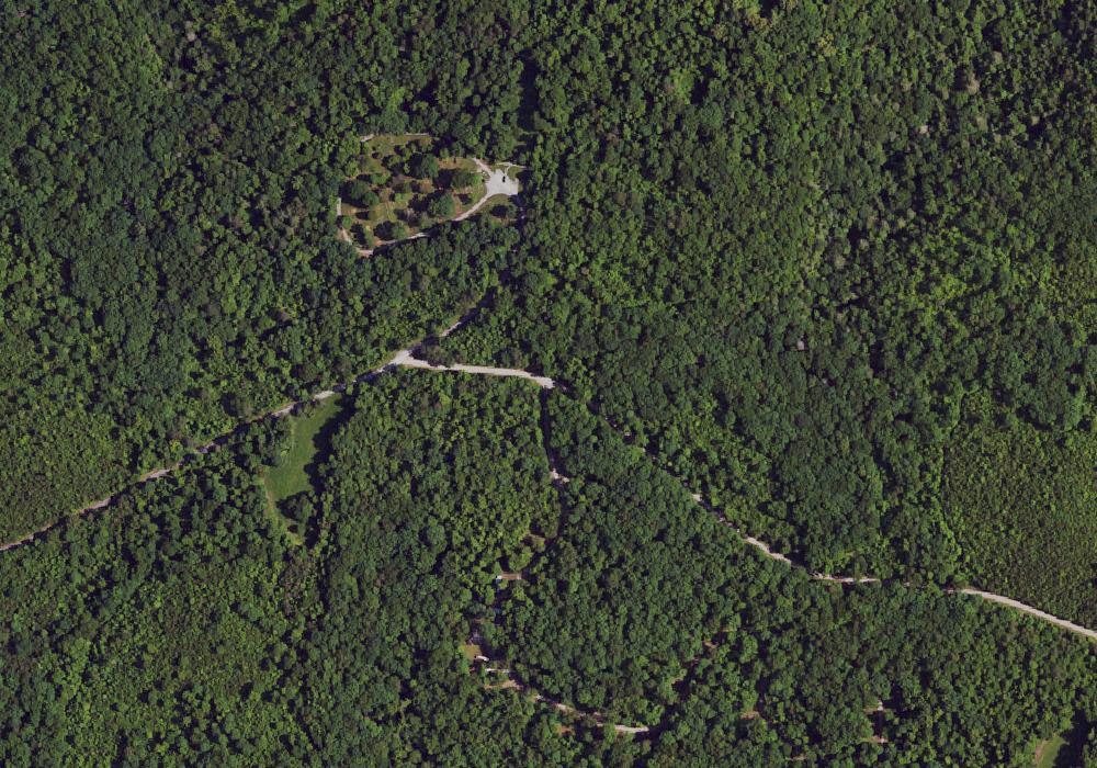
Barefoot Republic Camp & Retreat Center
Barefoot Republic Summer Camp offers overnight camps, day camps, and sports camps for kids in the 3rd grade through 12th grade.
 Map view
Barren Fork Horse Camp
Barren Fork Horse Camp is located off Barren Fork Road (#684) about 1 mile past US 27 and the Stearns Ranger District Office. From 1881 to 1935, the area was the site of a coal mining town operated by the Barren Fork Mining and Coal Company. Today, the campground offers 41 campsites that accommodate horse trailers and RVs up to 35 feet. A picnic shelter at the campground is available for group-use. Several interconnecting trails provide miles of riding pleasure. A nearby pond has water for horses. Visitors can also enjoy fishing at a nearby pond.