Find Your Perfect Campground
Browse 67,804+ campgrounds and resorts across the country.
295 campgrounds found
 Map view
49er's
Campground near Plymouth, CT.
Aces High RV Park
Relax in Beautiful Southeastern ConnecticutRelax in Beautiful Southeastern ConnecticutWelcome to Aces High Luxury RV ParkEvery guest is a winner with the finest RV accommodations designed for RV enthusiasts who appreciate quality and comfort with luxury amenities.All AgesPets WelcomeYear-Round

Acorn Acres Campground
Private, Open To Public With Fee
 Map view
Advent Christian Campground
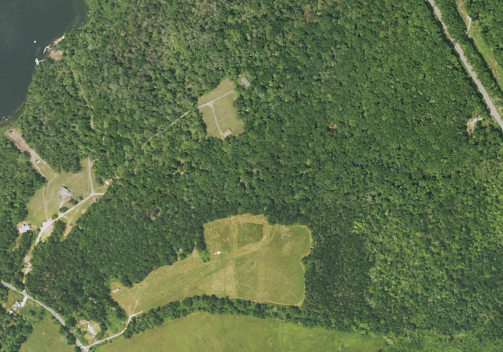
Campground near Southington, CT.
 Map view
Algonquin
Campground near Goshen, CT.
 Map view
Amos Lake Beach Club & Campground
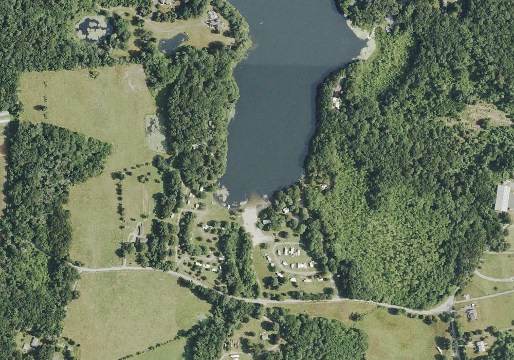
Amos Lake Campground is the perfect family and pet friendly location to spend your next vacation. Enjoy activities such a basketball, boating, canoeing, fishing,kayaking and swimming. Reconnect with the outdoors here at Amos Lake Campground! Are you looking for a campground in Preston, - ? Then Amos Lake Campground located on 53 Hollowell Road might be the place for you. The site includes .
 Map view
Amos Lake Campground
Private, Open To Public With Fee
 Map view
Arrow North
Campground near Plymouth, CT.
 Map view
Arrow South
Campground near Plymouth, CT.
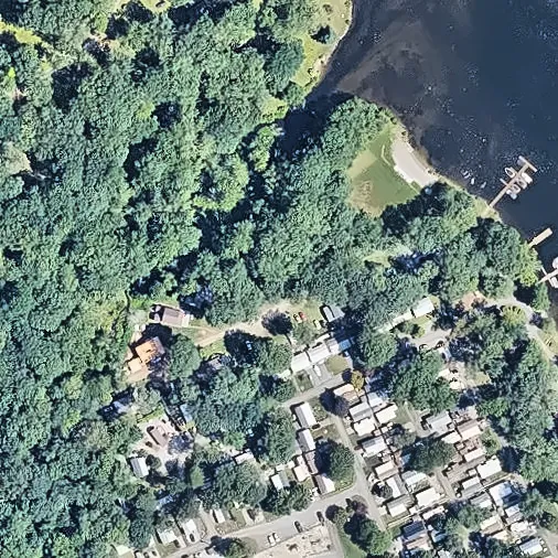 Aerial view
Arrowhead Cove
Private, Open To Public With Fee
 Map view
Austin F. Hawes Memorial Campground
Campground in CT managed by the Connecticut Department of Energy and Environmental Protection.
 Map view
Ball Brook Group Camping Area
Campground near Salisbury, CT.
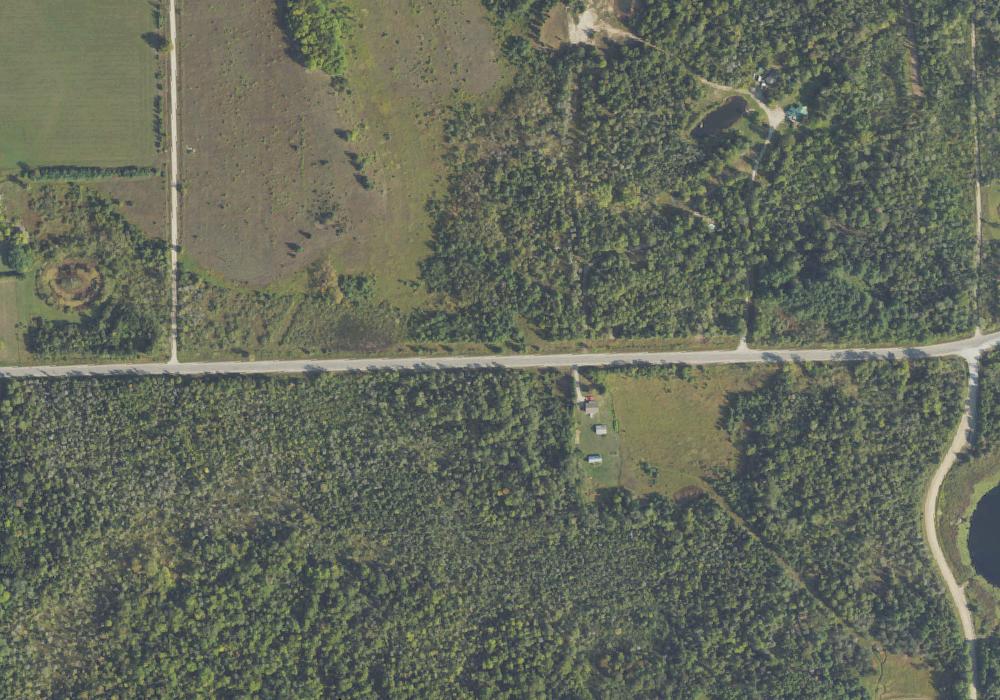 Map view
Bartoletti-Paucek Campground
Magni non nulla sequi velit suscipit iure. Facere voluptatibus sequi necessitatibus ullam enim doloribus. Ut soluta aut ea rerum voluptates molestiae. Aliquam eum sapiente omnis atque corporis. Culpa ab et nostrum ullam eveniet cumque labore enim. Repudiandae id ut suscipit aliquid sunt. Corporis iure aliquam ut fuga iure ea. Rerum ea quis et.
 Map view
Beahan, Johnston and Schmeler Campground
Nature-lovers paradise
Eius occaecati maiores ad. Officiis veritatis et cupiditate molestiae laudantium. Qui rerum quod error cupiditate at eos qui. Rem enim consectetur sit at consectetur reprehenderit natus. Et et neque modi aut et illo blanditiis. Sapiente facere omnis sed sit dolorum est unde sed. Repudiandae architecto ducimus suscipit quo iste eum dolor sit.

Bear Creek Campground
Campground near Southington, CT.
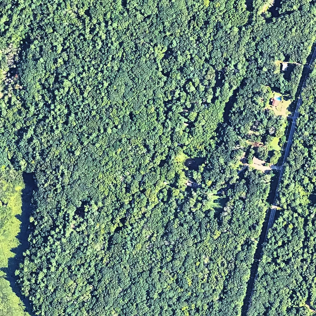 Aerial view
Beaver Pines Campground
Campground near Woodstock, CT.

Beech Grove 5
Campground near Manchester, CT.
 Map view
Belter's Campsites
Campground near Salisbury, CT. Amenities include tent sites.

Blue Cabins
Campground near Waterford, CT.
 Map view
Bobriwka
Campground near Colebrook, CT managed by the Bobriwka Inc..
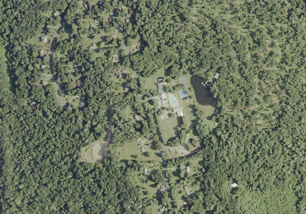 Map view
Boulder Ridge Day Camp
Campground near Barkhamsted, CT. Amenities include Camp store.
 Map view
Bourque Day Site 174 Brialee
Campground near Ashford, CT.

Boy Scout Camp
Campground near Killingworth, CT.
 Map view
Boy Scout camp
Campground near Stratford, CT.